
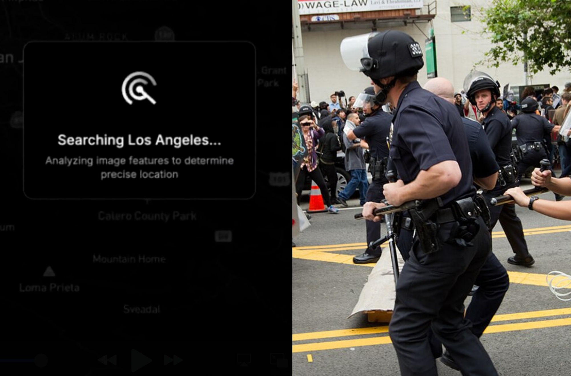
The Los Angeles Police Department (LAPD) has shown interest in using GeoSpy, a powerful AI tool that can pinpoint the location of photos based on features such as the soil, architecture, and other identifying features, according to emails obtained by 404 Media. The news also comes as GeoSpy’s founder shared a video showing how the tool can be used in relation to undocumented immigrants in sanctuary cities, and specifically Los Angeles.
The emails provide the first named case of a law enforcement agency showing clear interest in the tool. GeoSpy can also let law enforcement determine what home or building, down to the specific address, a photo came from, in some cases including photos taken inside with no windows or view of the street.
“Let’s start with one seat/license (me),” an October 2024 email from an LAPD official to Graylark Technologies, the company behind GeoSpy, reads. The LAPD official is from the agency’s Robbery-Homicide division, according to the email. 404 Media obtained the emails through a public records request with the LAPD.